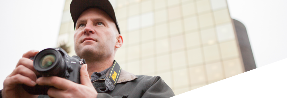

Image Based 3D Modeling is also known as Close Range Photogrammetry and it is a non-contact method of extracting three-dimensional measurements from one or more two-dimensional images of a scene or subject. Photogrammetry is often associated with aerial mapping because, historically, that has been it's most widely used application.
There are two general ways we carry out the capturing the images, with both we use a high resolution digital camera with a calibrated lens. One is called olbique orientation and the other is called stereo-pair orientation.
In the oblique method, we collect overlapping images with relatively large angle seperation, around 30 to 90 degrees between camera positions. Then we use software to mark reference points, such as survey targets, that are common to different images to solve for the camera positions. The reference points are measured using traditional surveying instruments and GPS to establish the scale and orientation of the model so the dimensions are true to life. Once the images have been successfully oriented we then mark points, lines, cylinders, surfaces etc. on the photos and the software solves their x-y-z coordinates thus generating the 3D model.
The stereo-pair method is the same way aerial mapping is done, with a series of overlapping images (approximately 60% overlap works well) taken at a constant distance from the object either in a parallel line or with small angle increments when the object isn't planar. We still include reference marks of known positions to set the scale and orientation of the model in this method. Then the software matches the pixels in the stereo-pair images both to solve for the camera positions and to create a dense cloud of point coordinates on the object's surface. After the points have been created a mesh grid connects the points to produce a model of the irregular surface.
The surfaces created in both methods can be textured using the images that they were created from so the result is a true scale, photo-realistic rendering of the scene for use in planning, quantity analysis, designing alterations and presentations.
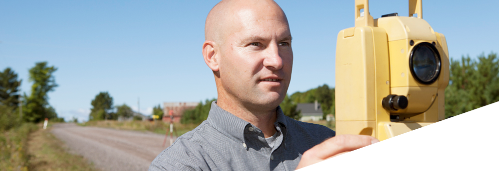
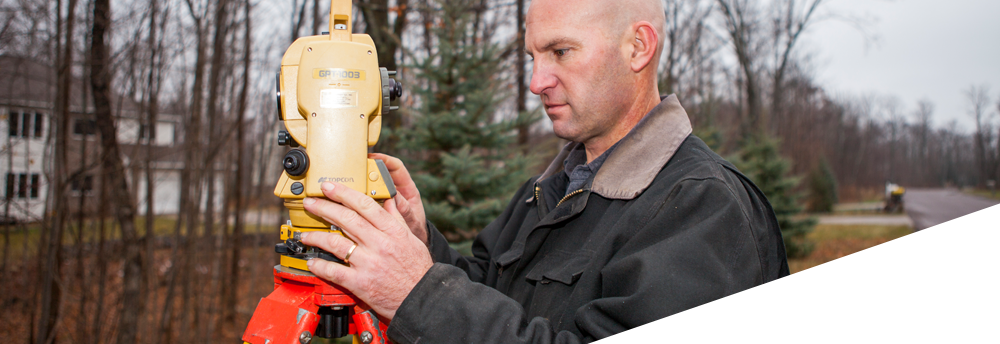
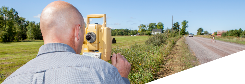
At LeClaire GeoServices we use Image Based 3D Modeling as a way to obtain much more detailed information during our surveys and combine it with data collected with optical instruments (i.e. total stations) and GPS. By combining the information surveyed using image based 3D modeling, total stations and GPS we create a realistic 3D model of the site and structures that can be delivered in an electronic format best suited to your needs (Autocad, 3D Studio, Maya, Rhino and point clouds). We can also produce deliverables such paper prints showing plan view, elevations, perspective view and rectified orthophotos, even KML/KMZ files for google earth to get a real world view of the site.