


Image Based 3D Modeling // Land Surveying // Construction Staking // GPS Machine Control
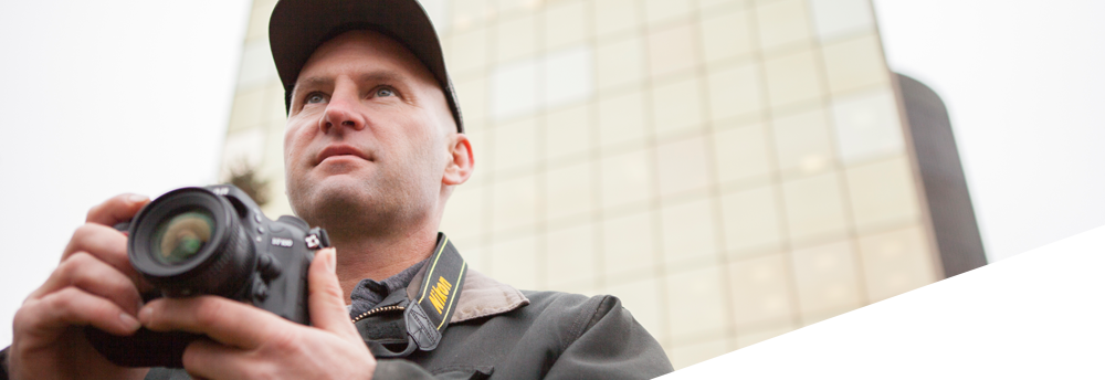
Image Based 3D Modeling
LeClaire GeoServices specializes in non-traditional surveying techniques that are more efficient, less labor-intensive, and more cost-effective to perform. Image Based 3D Modeling, also called Close Range Photogrammetry (CRP), uses special software to process two-dimensional digital images to produce three-dimensional models of subjects such as buildings, bridges, landscapes, machine parts, accident scenes, people, and animals. Company founder, Steve LeClaire, who has 20 years of land surveying experience, realized a local and regional demand for CRP services to aid:
- Architects
- Engineers
- Electrical Utilities
- Contractors
- Historical Preservationists
- Law Enforcement
Our Image Based Surveys and Land Surveys are often combined so that the 3D models are represented in their real world location and at a true scale. Combining these methods also benefits our Land Surveys by providing a high level of detail when needed to show on survey plats.
» Learn more about our Image Based 3D Modeling
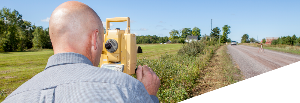
Land Surveying
At LeClaire GeoServices we have experience doing a variety of surveys. The following are examples of different types of surveys we often perform.
- ALTA-ACSM Land Title Surveys
- Land Divisions
- Boundary Surveys
- Topographic Surveys
- Wetland Surveys
- FEMA Elevation Certificates
- As Built Surveys
- Stockpile Volume Surveys
- Mortgage Reports
With each survey we consider criteria such as the purpose of the survey, the site conditions, and requirements based on legal statutes to develop a strategy of how to conduct the survey. Having the experience of laying out large subdivisions using little more than a transit and a steel tape makes us appreciate the benefits of using advanced equipment like Real Time Kinematic GPS, yet we also know when it is more efficient to use the less sophisticated methods.
Construction Staking
LeClaire GeoServices founder, Steve LeClaire, has two decades of experience in construction staking by spending the first two thirds of his career at civil engineering and surveying companies that conducted construction layout and the latter third of his career with a general contractor where he conducted all of the staking for self-perform and design-build projects.
LeClaire GeoServices carries on Mr. LeClaire's reputation for excellence in construction staking on projects ranging from single family home sites to national chain "big box" stores to one hundred lot site developments.
The following examples include a few of the main items we perform construction staking for.
- Clearing limits
- Site grading
- Foundations, anchor bolts & building wall lines
- Underground utilities i.e. watermain, sanitary sewer, storm sewer, and electrical service lines
- Roadways & parking areas
- Concrete curbs & sidewalks
GPS Machine Control
GPS Machine Control is a growing advancement in construction grading and underground utility installation. Equipment such as bulldozers, graders, and excavators are fitted with GPS receivers and motion sensors so the location and elevation of the cutting edge of the machine is visible to the operator on a display in the cab of the machine. Using the Machine Control system the operators' carry out their work of shaping the site to the design specs faster and more accurately than when they had to rely on another person checking the grades against reference marks and survey stakes.
At LeClaire GeoServices we are involved with two important steps in using the Machine Control system.
-
Digital Surface Model Preparation
This step involves converting the information from the site designers to digital files that are loaded into the control unit of the GPS MC equipment. Sometimes it requires taking the data off of blueprints and other times it is a matter of converting the electronic design files to the specific format used by the GPS MC system. This is also when we check the data for possible errors to make sure the machines are loaded with the proper information to guard against costly rework for the contractor. -
Site Calibration
This is when we orient the GPS equipment to the specific job site for the project by surveying several reference points that correspond to specific horizontal (X & Y) and vertical (elevation) coordinates. After enough points have been surveyed to high enough quality to confirm that the system is oriented well the calibration file is transferred to the control units in the machines and GPS MC machines can proceed.